The complete guide to the Budapest metro network — map, timetable, tickets and route planner in one place.
Service monitoring
Service status · updated in real time
M1 · Vörösmarty tér ↔ Mexikói út (Yellow)
M2 · Déli pu. ↔ Örs vezér tere (Red)
M3 · Újpest-központ ↔ Kőbánya-Kispest (Blue)
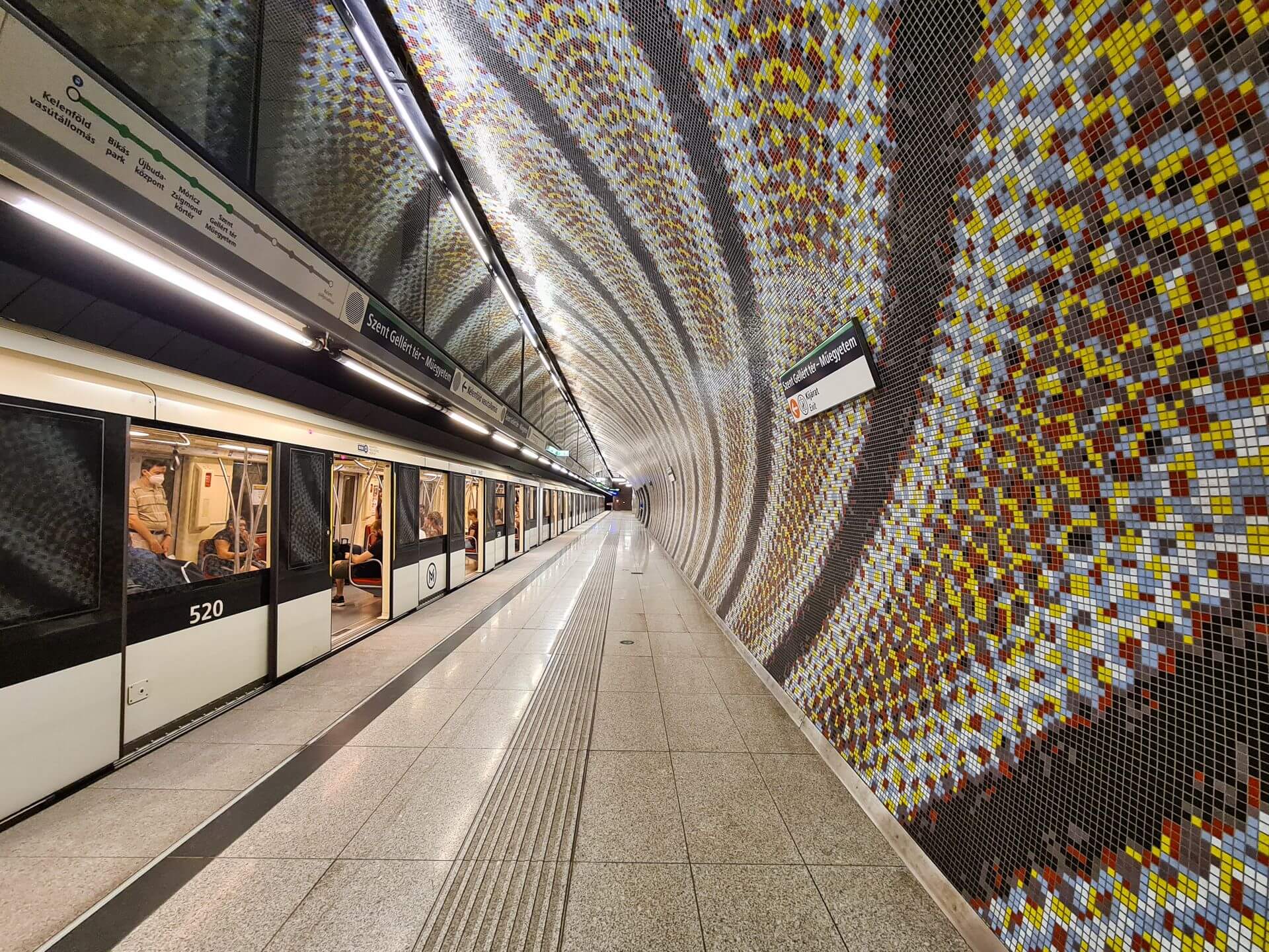
M4 · Kelenföld ↔ Keleti pu. (Green)
The Budapest metro is Europe’s second-oldest underground railway — the M1 opened in 1896, the year of the Millennium. Today four lines (M1, M2, M3, M4), 52 stations and three transfer hubs connect every part of Budapest. On this site you’ll find everything, from a simple trip to detailed route planning.
Choose a line to see its stations, timetables and transfer connections.
Download the complete BKK metro map as a PDF — all four lines, the transfers and surface transport.
Enter your departure and arrival stations — we'll show you the fastest route, the transfers and the travel time.
The Budapest metro has four lines: M1 (Yellow, 1896 — UNESCO World Heritage), M2 (Red, 1970), M3 (Blue, 1976) and M4 (Green, 2014). There are 52 stations in total, with three transfer hubs: Deák Ferenc tér (M1+M2+M3), Kálvin tér (M3+M4) and Keleti pályaudvar (M2+M4).
A single ticket costs 500 Ft. A transfer ticket is 850 Ft (one transfer within 90 minutes), and a daily ticket is 2,750 Ft. More info on the Tickets and fares page.
The first metro leaves at 4:21 (M3, Újpest-központ), and the last one reaches Újpest-központ at 0:18 — the M2, M3 and M4 also run after midnight. At peak times trains run every 2–4 minutes, and every 3–5 minutes during the day.
In the BudapestGO mobile app, at the metro’s ticket offices and machines, or on bkk.hu. Many newsstands and shops also sell tickets.
No. budapestimetro.com is an independent information site — not an official BKK/BKV site. For official information, visit bkk.hu.